Ever been stuck without internet when you desperately needed directions? Google Maps Downloader solves this frustrating problem by letting you save maps directly to your computer for offline use. Think of it as creating your own personal map collection that works anywhere, anytime.
After using this tool for several projects, I found it particularly valuable for trip planning and areas with spotty internet coverage. Instead of hoping your phone signal holds up in remote areas, you can prepare by downloading detailed maps ahead of time. It’s like having a digital atlas that never runs out of battery.
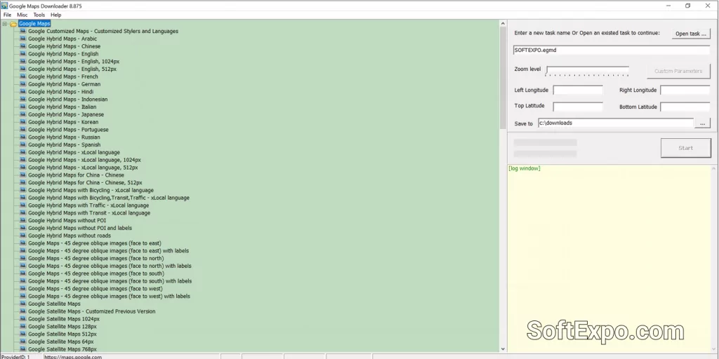
What surprised me most was how versatile the downloaded maps become. You’re not just getting basic street layouts – the software captures satellite imagery, terrain details, and even hybrid views that combine multiple map types. Perfect for hiking, real estate work, or educational projects that need offline map access.
Core Functionality That Works
Map Download Capabilities
Downloads satellite imagery, street maps, terrain, and hybrid views
Captures high-resolution map tiles from Google Maps service
Saves maps in multiple formats: JPG, PNG, TIF, BMP, KMZ
Supports custom zoom levels for detailed or overview mapping
Batch downloading for large geographic areas
Offline Viewing & Organization
Built-in Map Viewer for browsing downloaded maps without internet
Combine small tiles into larger seamless map images
Organize maps by location, date, or project
Search and navigation tools within downloaded map collections
Print support for physical map backups
Professional Integration Options
Export maps for GIS software like QGIS, Global Mapper, TatukGIS
Generate SQLite databases compatible with mobile mapping apps
Create MBTiles format for navigation programs like OpenCPN
Support for RMaps, Locus Map, OruxMaps, and MapBox formats
KMZ output for Google Earth integration
Real-World Applications
During my testing with different scenarios, Google Maps Downloader proved most useful for outdoor activities and professional projects. Hikers can download trail maps before heading into areas without cell coverage. Real estate professionals can create property location maps for presentations. Researchers can archive geographic data for long-term projects.
What Works Really Well The download process is straightforward – you specify coordinates or draw an area on the map, choose your zoom level and map type, then let it work. The software handles the tedious task of grabbing hundreds of individual tiles and organizing them properly.
Practical Limitations to Consider Download speeds depend on your internet connection and Google’s rate limiting. Very high zoom levels with large areas can result in massive file sizes. The trial version limits zoom levels, so you’ll need the full version for high-detail mapping.
Planning Your Map Downloads
Best Practices I’ve Learned Start with lower zoom levels to get area overviews, then download specific high-detail sections as needed. For travel planning, download both satellite and street map versions of the same area. Always test your downloaded maps offline before depending on them in remote areas.
Storage Considerations Map files can get large quickly. A city-sized area at high zoom might consume several gigabytes. Plan your storage accordingly and consider external drives for extensive map collections. The software’s compression helps, but detailed satellite imagery inherently requires significant space.